
Environmental Monitoring through Drones
Use of drone technology for rehabilitation monitoring
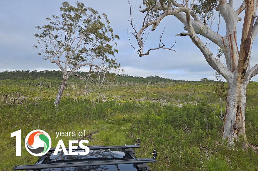
Drone technology was used at our client’s site at Tin Can Bay, Queensland to support the planning and future monitoring of vegetation restoration following a clearing event. High-resolution orthomosaic imagery and a digital elevation model (DEM) were generated from the drone flight data by Biodiverse Environmental, enabling accurate assessment of site conditions and disturbance extent.
The DEM provided a basis for comparing landform conditions before and after clearing. It confirmed that the terrain remained largely unaltered, with hydrological patterns intact, suggesting strong potential for natural regeneration. The elevation data also helped verify vegetation mapping in low-lying areas that were otherwise inaccessible during ground surveys.
The orthomosaic image, created from post-clearing drone imagery, shows areas of high and low density vegetation canopy removal across the site as per the image below. These visual differences were used to assess the spatial extent and intensity of clearing. Concurrent field surveys were carried out by Applied Environment & Safety and Biodiverse Environmental, enabling real-time validation of drone observations and confirming the presence of retained woody debris, which offered insight into past vegetation structure and regeneration potential.
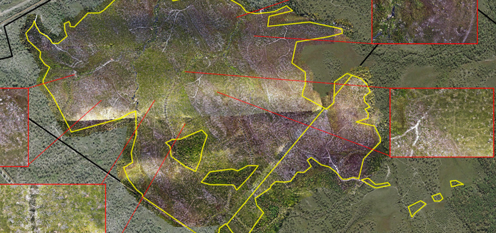
This imagery provides a spatial baseline for restoration planning. Annual drone surveys will capture consistent data, enabling direct year-to-year comparison of vegetation recovery. Where specific Regional Ecosystems lack the required species composition, precision reseeding such as dispersal via seed bombing by drones will be used to support natural regeneration. This dual application of drone technology supports adaptive management, guides maintenance priorities, and documents restoration outcomes over time.
This project demonstrates the value of close collaboration between aerial and on-ground survey methods. The partnership with Biodiverse Environmental highlights how integrated data collection can enhance ecological planning and strengthen long-term restoration outcomes.
Environmental Monitoring
We offer integrated environmental monitoring and management services, combining on-ground ecological expertise to support accurate planning, compliance tracking, and adaptive site management. Our team delivers tailored management plans backed by spatial data and field validation. This ensures our clients achieve regulatory outcomes and management measures for long-term ecosystem resilience. For more information, see our services page here.